The Millennium Hope Hills stand to the east of Teizan Canal, Japan's longest canal, and run alongside the Pacific coast. There were formerly six districts along this stretch of coast—Ainokama, Fujisone, Ninokura, Hasegama, Kabasaki, and Shinbama. Before the 2011 disaster, they housed 515 households and 1,784 people. After the tsunami, those who had lived in the coastal districts collectively relocated to a location 3 km inland, forming a new district called Tamaura Nishi.
These six former districts are an integral part of the Millennium Hope Hills, and their names remain as the names of the parks. Debris from the disaster such as home foundations, warehouses, and roads is also preserved as it was after the tsunami, conveying a sense of the people who used to live there.
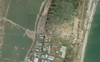
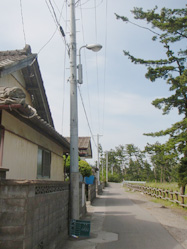
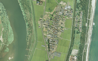
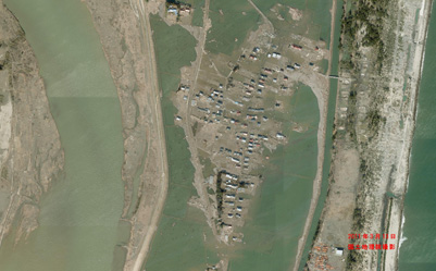
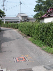
Ainokama
Population before the disaster: 417 (136 households)
This district's name probably comes from the boilers (kama in Japanese) that were placed there to produce salt. This farming community was famous for products such as the Ainokama melon.
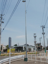
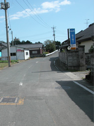
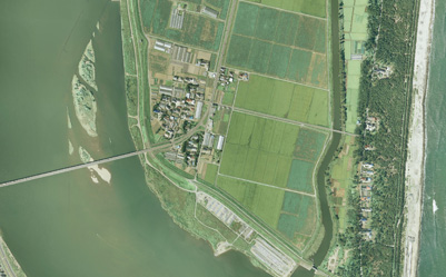
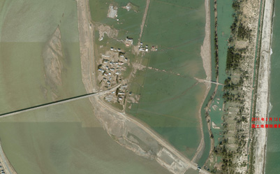
Ainokama before the disaster
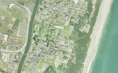
Aerial photograph (before the disaster)
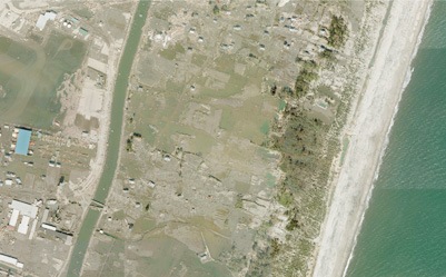
Aerial photograph (immediately after the disaster)
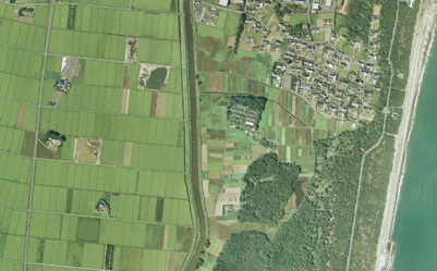
Fujisone
Population before the disaster: 80 (20 households)
This community took its name from its reclaimed land (sone in Japanese) and is known for being the place where a famous Buddhist priest, Grand Master Kobo, trained.
Fujisose before the disaster
Aerial photograph (before the disaster)
Aerial photograph (immediately after the disaster)
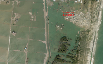
Ninokura
Population before the disaster: 359 (101 households)
This district took its name from a type of storehouse (kura in Japanese) and is famous for the legend of the general Sakanoueno Tamuramaro. It was a community of factories and storehouses.
Ninokura before the disaster
Aerial photograph (before the disaster)
Aerial photograph (immediately after the disaster)
Hasegama
Population before the disaster: 274 (82 households)
The district's name comes from the boilers (kama in Japanese) that were placed in this community to produce salt. The great ginkgo of the Shinmei Shrine looked over this community.
Hasegama before the disaster
Aerial photograph (before the disaster)
Aerial photograph (immediately after the disaster)
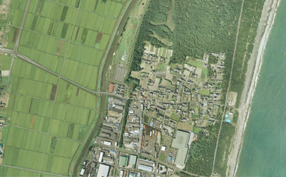
Kabasaki
Population before the disaster: 487 (130 households)
The name of this former port town is said to come from the cattail plant (kaba in Japanese) that grows there. This is the town where the leaders of Miyagi Prefecture sourced the salmon that they presented to the capital.
Kabasaki before the disaster
Aerial photograph (before the disaster)
Aerial photograph (immediately after the disaster)
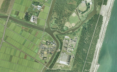
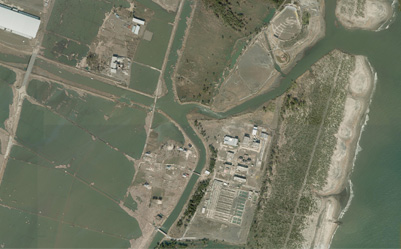
Shinbama
Population before the disaster: 167 (46 households)
This is the southern edge of the Abukuma River, located at its estuary. The district's name comes from its history, in which a collection of barns became a town. (Shinbama literally means "new shore" in Japanese)
Shinbama before the disaster
Aerial photograph (before the disaster)
Aerial photograph (immediately after the disaster)
